-40%
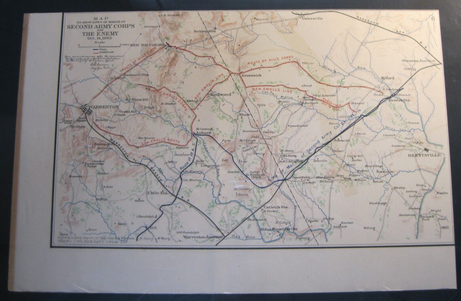
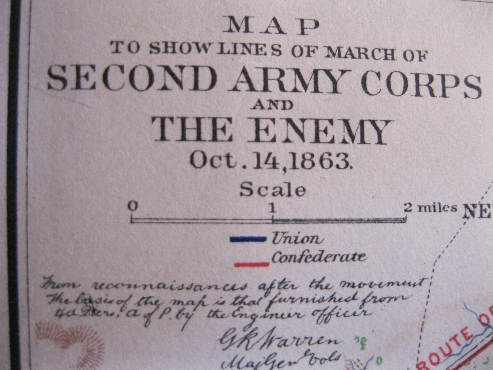
Antique Civil War Map: Lines of March of Armies to Battle of Bristoe Station,VA
$ 10.53
- Description
- Size Guide
Description
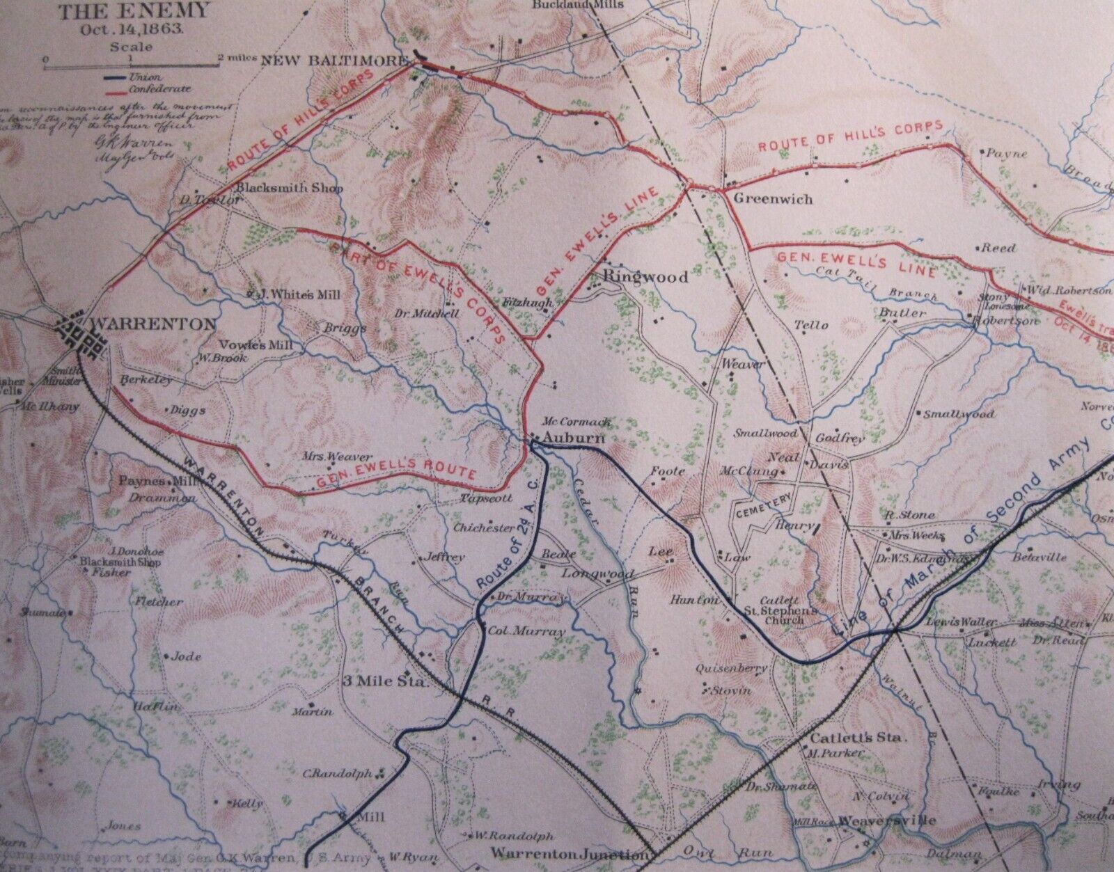
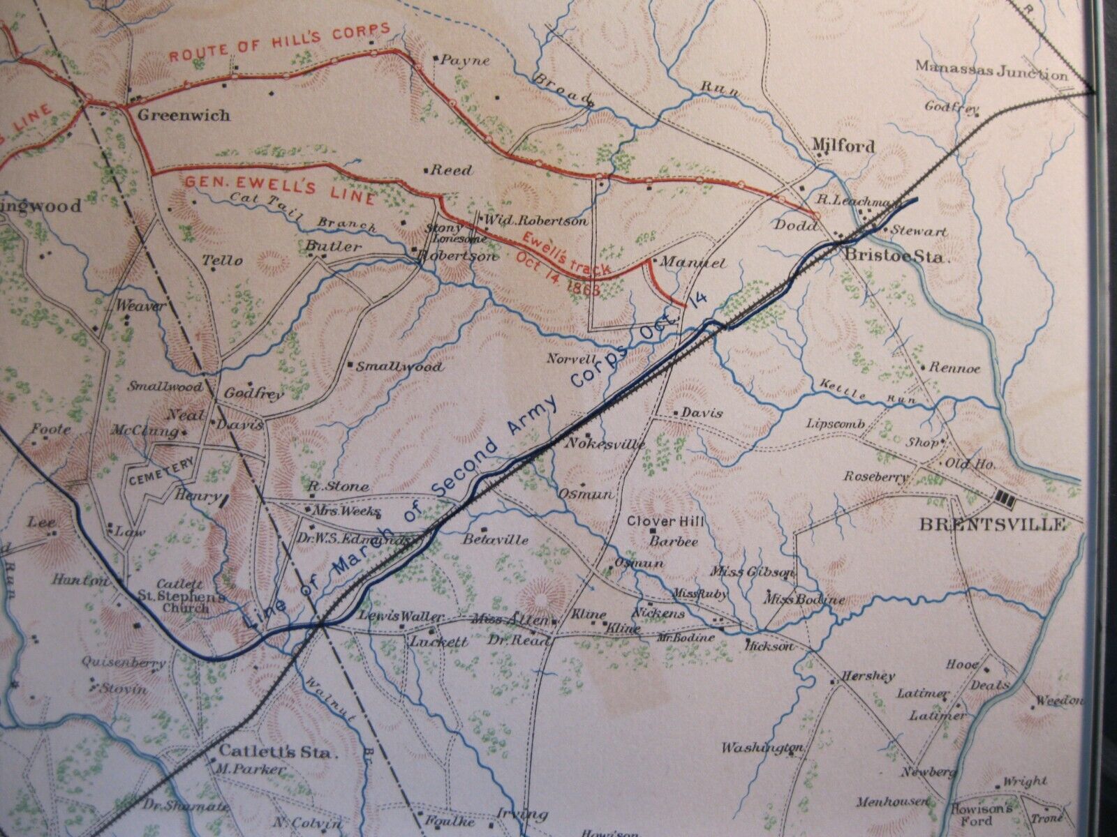
Antique Battlefield MapLines of March of 2nd Corps & Enemy
to
Bristoe Station
accompanying report of
Maj. Gen. G. K. Warren, U. S. Army
This map is a original, antique map No.6 (not a reproduction) a 11.4" x 7.2" section from Plate XLV,
a
folio
page of
maps from
The Atlas to Accompany the Official Records of the Union and Confederate Armies
Commissioned by Resolution of Congress May 19, 1864,
in accordance to serve as the official historical record of the war.
(It was published between 1891-1895)
Prince William County, VA | Oct 14, 1863
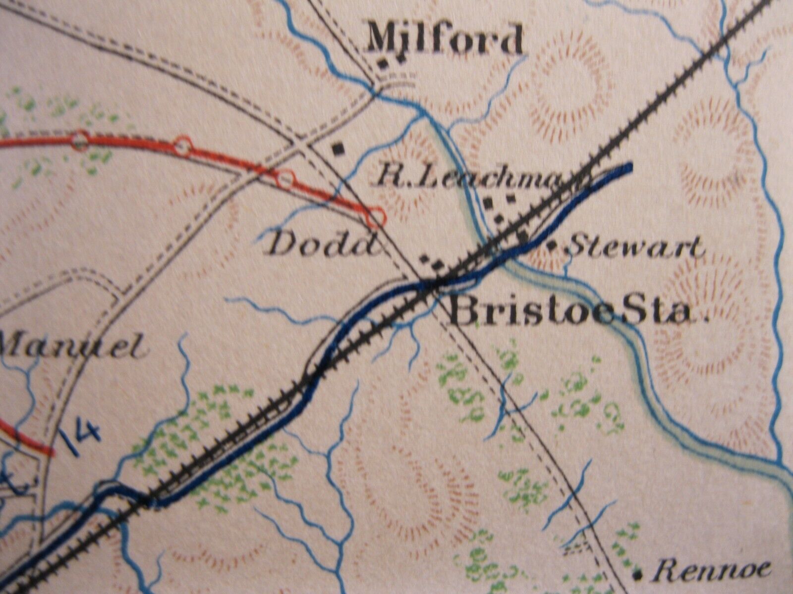
In early October 1863, the Union army withdrew from its central Virginia pursuit of Robert E. Lee's Army of Northern Virginia, 90 days after the Gettysburg campaign. Lee and the Army of the Potomac under Maj. Gen. George G. Meade maintained close contact with each other as Meade moved north towards Centreville. On October 14th, Lieut. Gen. A.P. Hill’s corps stumbled upon two corps of the retreating Union army at Bristoe Station and attacked without proper reconnaissance. Union soldiers of Maj. Gen. Gouverneur K. Warren's Second Corps, posted behind an embankment of the Orange & Alexandria Railroad four miles west of Manassas, ambushed two brigades of Brig. Gen. Henry Heth’s division and captured a battery of artillery. Confederate Brig. Gen. Carnot Posey was mortally wounded in a counterattack. Hill reinforced his line but could make little headway against the determined Yankee defenders. After their victory, the Federals continued the withdrawal eastward to Centreville unmolested. Lee’s offensive sputtered to a premature halt. After minor skirmishing near Manassas and Centreville, the Confederates retired slowly to Rappahannock River destroying the Orange & Alexandria Railroad as they went. At Bristoe Station, Hill lost standing in the eyes of Lee, who angrily ordered him to bury his dead and "say no more about it."
(from American Battlefield Trust)
The atlas from which this map was taken still remains the definitive source of Civil War information available.
The Atlas was never publicly sold but exclusively distributed to federal depositories, universities, museums and various public institutions until they were withdrawn from these institutions and entered the public domain years later.
The map comes from the larger folio Plate XLV (45)
map image 10.3" x 6.2"
with 1" margins
on left side & bottom
